When is As-Built Measuring Needed?
Any major renovation, home addition, or commercial Tenant Improvement requires an accurate set of base drawings before you can apply for a building permit. Municipalities in BC will immediately reject a permit application if the "existing conditions" are assumed or inaccurate.
You need As-Built measuring if:
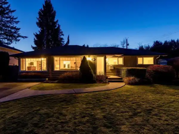
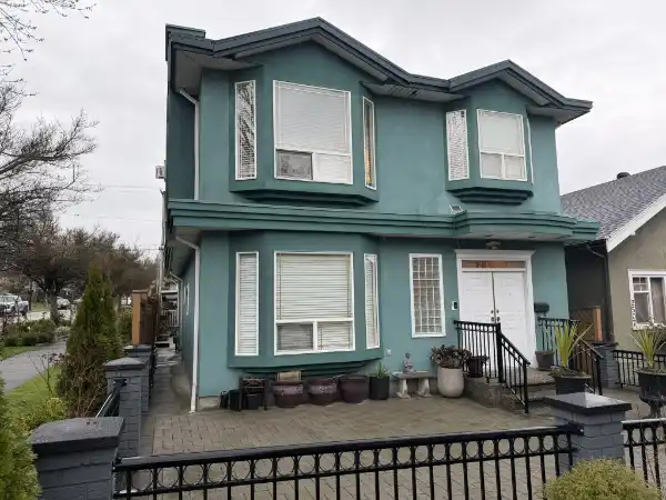
- You are missing original drawings: You purchased an older home and the city has no architectural records on file.
- Past renovations were unpermitted: The layout of the house no longer matches the drawings that the city does have on file.
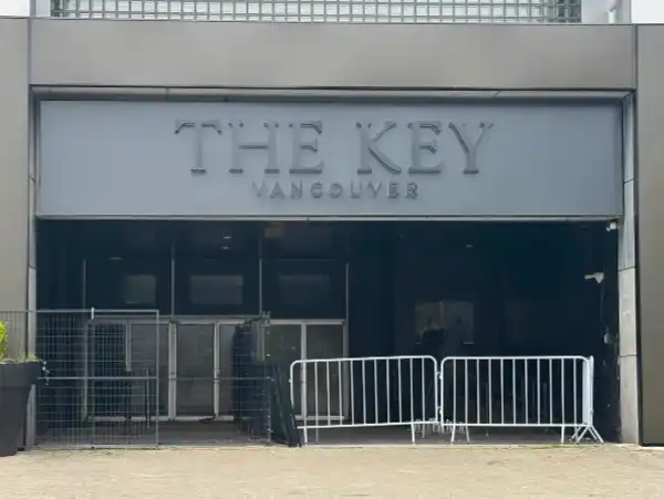
- Commercial Leases: You are taking over a commercial space and the landlord's leasing plan is severely outdated or missing critical structural elements (like columns or plumbing stacks).
What is a LiDAR Scanner?
For years, measuring a house meant two people walking around for hours with a tape measure and a clipboard—a process highly prone to human error. If a single measurement was off, the entire drafting process would be compromised.
Today, we use a 360° LiDAR Scanner. This modern device sits on a tripod and spins, shooting thousands of laser pulses per second to measure the exact distance to every wall, door, window, and structural beam. At the same time, it captures high-resolution 360-degree photographs.
This creates a highly accurate "Point Cloud" (a 3D digital twin) of your space. We then import this point cloud directly into our architectural software (Revit) to trace the exact dimensions with millimeter accuracy. It is faster, flawless, and ensures your renovation design is built on a solid foundation of data.
As-Built Measuring vs. Land Survey
One of the most common misconceptions we hear is clients confusing an As-Built Measurement with a Land Survey. They are two entirely different documents, and for many projects (like a home addition or laneway house), you will need both.
- As-Built Measurement: This is an interior measurement of the physical structure of the building. It documents the floor plans, window locations, staircases, and ceiling heights. It tells the city exactly what the building looks like today.
- Topographic Land Survey: This is an exterior legal document produced by a registered BC Land Surveyor (BCLS). It maps the property lines, lot elevation, trees, and the footprint of the house relative to the property boundaries. It does not document the inside of the house.
Step 1: Scope Definition
We discuss your property size and exactly what deliverables your designer or contractor requires (e.g., PDF plans, AutoCAD files, Revit models).
Step 2: On-Site LiDAR Scan
Our technician arrives at your property to perform the 360° LiDAR scan, capturing all necessary interior and exterior structural data.
Step 3: Drafting & Modeling
Our drafting team takes the raw scan data, imports it into our software, and drafts the highly accurate existing condition plans.
Step 4: Final Delivery
We deliver the digital files to you, providing a clean, flawless foundation for your upcoming renovation or permit application.
Canadian Blueprint Inc.
BC Building Design & Permit Drawings
Published February 15, 2024